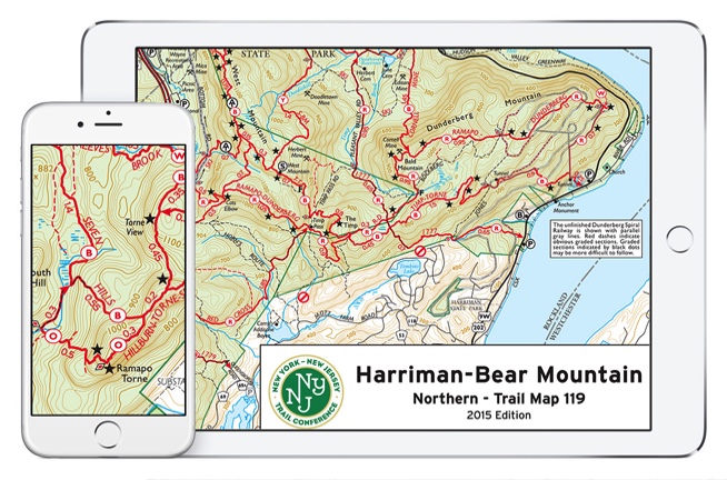
Download digital versions of the NY-NJ Trail Conference maps (above) - and thousands more - in the Avenza app. Avenza uses satellite GPS to track your position on any trail. Go here: AVENZA
Beautiful, detailed & indestructible paper trail maps from the New York-New Jersey Trail Conference. Pore over them to create your own hikes. Order online or pick them up at Campmor / REI. Go to MAPS
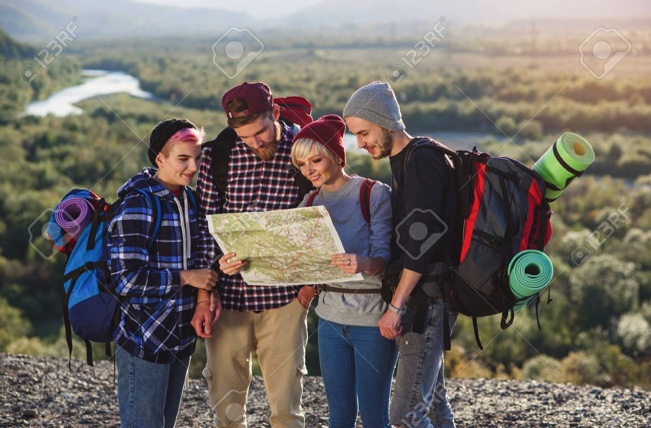
Discover Your Own Hikes
The Trail Conference offers a good selection. Beginners might like the Best Hikes with Children series. Here you go: BOOKS
BUILD A PERFECT HIKE for your crew in northern NJ, southern NY and eastern Pennsylvania. Choose from filters like "Waterfall" or "Moderate Difficulty" to create your hike. Site: FIND A HIKE
JACK'S WALKABOUT CLUB'S PAST HIKES
ALMOST ALL OF OUR PREVIOUS HIKES IN ONE SPOT. GO HERE FOR DESCRIPTIONS, DIRECTIONS & HIKING ROUTES. ALL HIKES ARE EASY TO MODERATE: GUIDE TO OUR PAST HIKES